Imagine stepping out your front door and reaching coffee, groceries, and the T in the same 10-minute window. If you are eyeing Somerville and wondering whether you can go car-lite or even car-free, you are not alone. Many residents already prioritize walking, transit, and biking, and the city keeps investing in better options. In this guide, you will learn how Somerville’s transit, bike paths, and neighborhood squares make that possible, what to consider in rentals or condos, and where a car-lite lifestyle shines. Let’s dive in.
Why Somerville supports car-lite living
Somerville ranks high for walkability, especially around core squares like Davis, Union, and Magoun. Neighborhood Walk Scores in these areas are among the strongest in Greater Boston, which means daily errands and dining are often a short walk or bike ride away. You can preview neighborhood strengths using the city’s Walk Score overview for Somerville.
The way residents get around reflects this. As of 2023, the most common commute modes were drove alone 30.7 percent, worked at home 29 percent, and public transit 19.6 percent, with an average commute time of about 30.7 minutes. The homeownership rate was about 34.3 percent and the median property value was about $899,400. These figures point to a large renter population and a strong transit and walking orientation. You can explore the full profile via Data USA’s Somerville summary.
If you do keep a car, plan for permits and fees. On-street parking is regulated by residential zones, and availability varies by neighborhood. Review the city’s parking permit rules and fees to understand ongoing costs before you commit to a unit.
Your transit map at a glance
Somerville is now served by three rapid transit lines plus a dense MBTA bus network. This gives you multiple one-seat or one-transfer options to reach downtown Boston, Cambridge, and key job centers.
Green Line Extension highlights
The Green Line Extension (GLX) brought five new stations to Somerville, including Union Square, East Somerville, Gilman Square, Magoun Square, and Ball Square. The expansion puts many more homes within a half-mile of rapid transit. For station details and project background, see the city’s Green Line Extension page.
Service on the GLX has seen periodic repairs and slow zones since opening. The MBTA also schedules occasional shutdowns for upgrades. It is smart to confirm current schedules and service alerts if you rely on one route for a time-sensitive commute. For context on the GLX repair phase, read this Axios update on Green Line fixes.
The GLX also delivered a big walking and biking win. The Community Path extension added more than 2 miles of off-street trail that links neighborhoods to stations and to Cambridge paths. It is one of the most useful shortcuts for first and last mile trips. See the city’s announcement of the Community Path extension opening.
Red and Orange Line access
Davis Square on the Red Line anchors one of Somerville’s most active districts for dining, entertainment, and everyday errands. The Orange Line at Assembly connects directly to Boston and is steps from major retail at Assembly Row. When comparing units, note which line best matches your workplace and typical off-peak travel.
Buses that fill the gaps
Beyond the subway, frequent bus corridors make cross-town life practical. The city and MBTA have focused on faster, more reliable service with dedicated lanes and stop consolidation along key corridors such as Broadway. You can see an example of this approach in the city’s update about bus service improvements on East Broadway. For errands that do not align with the T, these bus lanes often make the difference between a 12-minute and a 30-minute trip.
Bike, e-bike, and walking infrastructure
Somerville’s bike and pedestrian network keeps growing, which is a major reason car-lite living here is realistic year-round.
Community Path and off-street shortcuts
The Community Path extension runs parallel to the GLX and links neighborhoods to stations and to Cambridge routes near North Point. For many trips, it creates a low-stress alternative to mixing with traffic. If you are new to biking, the Path is a great way to build confidence while still getting places quickly.
Protected bike lanes and neighborways
In 2023, the city adopted a Bicycle Network Plan that outlines an 88-mile connected system, with a priority network targeted for substantial implementation by 2030. The plan emphasizes protected lanes, quick-build projects, and low-stress residential routes called neighborways. You can read about the strategy and progress on the Somerville Bicycle Network Plan page.
Bluebikes access for flexible trips
If you do not have space to store a bike or just want flexibility, the regional bike-share program is widely available. Somerville partners in Bluebikes and continues to upgrade stations, including e-bike availability at many docks. Learn how the system works on the city’s bikeshare page. Bike-share plus the Community Path and growing protected lanes can cover a big share of your daily movement.
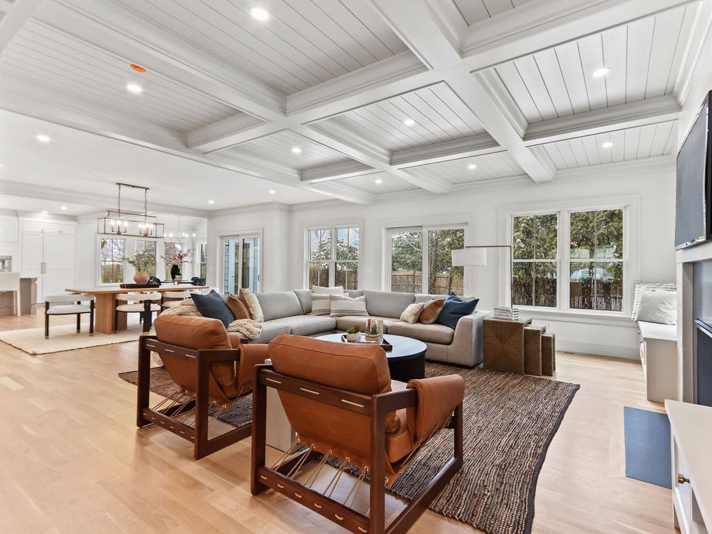
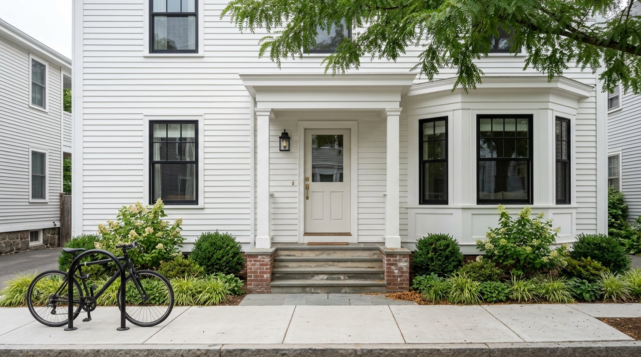
Housing types and car-lite tradeoffs
What you will find in the housing stock
Much of Somerville features classic triple-deckers and multifamily conversions, along with newer mid-rise apartments near transit nodes. Union Square and Boynton Yards have seen significant new mixed-use development, introducing modern condo and rental inventory with strong GLX access. For a snapshot of recent Union Square additions, see this Boston Real Estate Times feature on a 94-unit project.
Rents and cost planning
Rents vary by building, amenities, and location. As of March 2026, vendor indexes such as Zumper show typical 1-bedroom medians in the upper $2,000s to low $3,000s depending on neighborhood. Because rents shift month to month, check a live index like Zumper’s Somerville data page when you get serious about a move.
One reason many households go car-lite is to offset housing costs. You can save on gas, insurance, and parking, but remember to evaluate the whole picture. Buildings near GLX stations often command higher prices, and some newer developments unbundle parking so you pay for a spot only if you need it. If you keep a car, confirm permit rules, fees, and on-street turnover in your zone using the city’s parking program overview.
Where car-lite shines in Somerville
- Davis Square: Red Line access with excellent walkability, small businesses, and nightlife. If you want a lively scene and shorter Red Line commutes, this is a strong fit. Use Walk Score’s Somerville map to compare blocks.
- Union Square and Boynton Yards: Direct GLX service plus significant new residential options. Good for buyers and renters who want modern buildings and fast links to Cambridge and downtown.
- Assembly Row: Orange Line service with major retail and newer apartments. Convenient if you want walkable shopping and an easy train to Boston.
- East Somerville, Magoun, Ball, and Gilman corridors: GLX stations brought rapid transit to areas beyond the historic squares. The Community Path and growing protected bike lanes help with first and last mile trips.
Listing checklist for a car-lite lifestyle
Use this quick checklist as you tour units and compare addresses:
- Proximity to frequent transit: Aim for a 5 to 15 minute walk to a rapid transit station or a 0 to 0.3 mile walk to a frequent bus corridor. The GLX project page lists the new stations that changed many walk sheds.
- Frequency and hours: Check current MBTA schedules for the exact lines you will use, including evening headways and weekend service. For GLX, remember that repairs and targeted shutdowns can happen. The Axios GLX repairs recap is a useful reminder to verify alerts.
- Bike storage and access: Confirm secure indoor bike parking and easy access to the Community Path or a protected lane. The city’s Bicycle Network Plan shows where quick-build projects are improving blocks year to year.
- Daily errands by foot: Map walking times to groceries, pharmacies, cafes, and services from the unit. In many squares, these are minutes away. Compare specific blocks with the Somerville Walk Score map.
- Bus corridors: If a subway station is not close, a frequent bus lane can make life just as easy. Check corridors like Broadway where the city and MBTA invested in bus priority improvements.
- Parking and costs: Ask whether parking is unbundled and what a monthly spot costs. If relying on street parking, review permit fees and rules in your zone on the city’s parking page.
- Budget tradeoffs: Homes closest to transit and amenities often cost more. If you can comfortably drop a car payment and insurance, the savings may justify paying a bit more in rent for the best location.
Put it together with a local advisor
A car-lite move is about more than distance to a station. You want the right square, the right building policies, and the right transit and bike options for your schedule. If you would like a tailored plan, pricing context, and a short list of listings that match your commute and lifestyle, connect with Mike Preston for a concierge consult. We will help you compare neighborhoods, quantify tradeoffs, and secure the home that makes car-lite living simple.
FAQs
Is Somerville realistic for car-free living?
- Yes. With high walkability, the GLX, Red and Orange Lines, a dense bus network, Bluebikes, and the Community Path, many households comfortably live car-free.
Which Somerville neighborhoods are best without a car?
- Davis and Union Squares are top picks for walkability and transit; Assembly Row and GLX station areas like Magoun or Ball also work well for many daily routines.
How reliable is the Green Line Extension for commuting?
- It offers strong access, but service has seen repairs and occasional shutdowns. Check current MBTA schedules and alerts before time-sensitive trips.
What should you budget for parking if you keep a car?
- Plan for permit fees and possible charges for a designated spot. Review the city’s current rules on the Somerville parking page and confirm building policies.
How does Bluebikes fit into a car-lite plan?
- Bluebikes stations, including e-bikes, are spread across Somerville. Pair them with the Community Path and protected lanes for quick, low-stress trips without owning a bike.